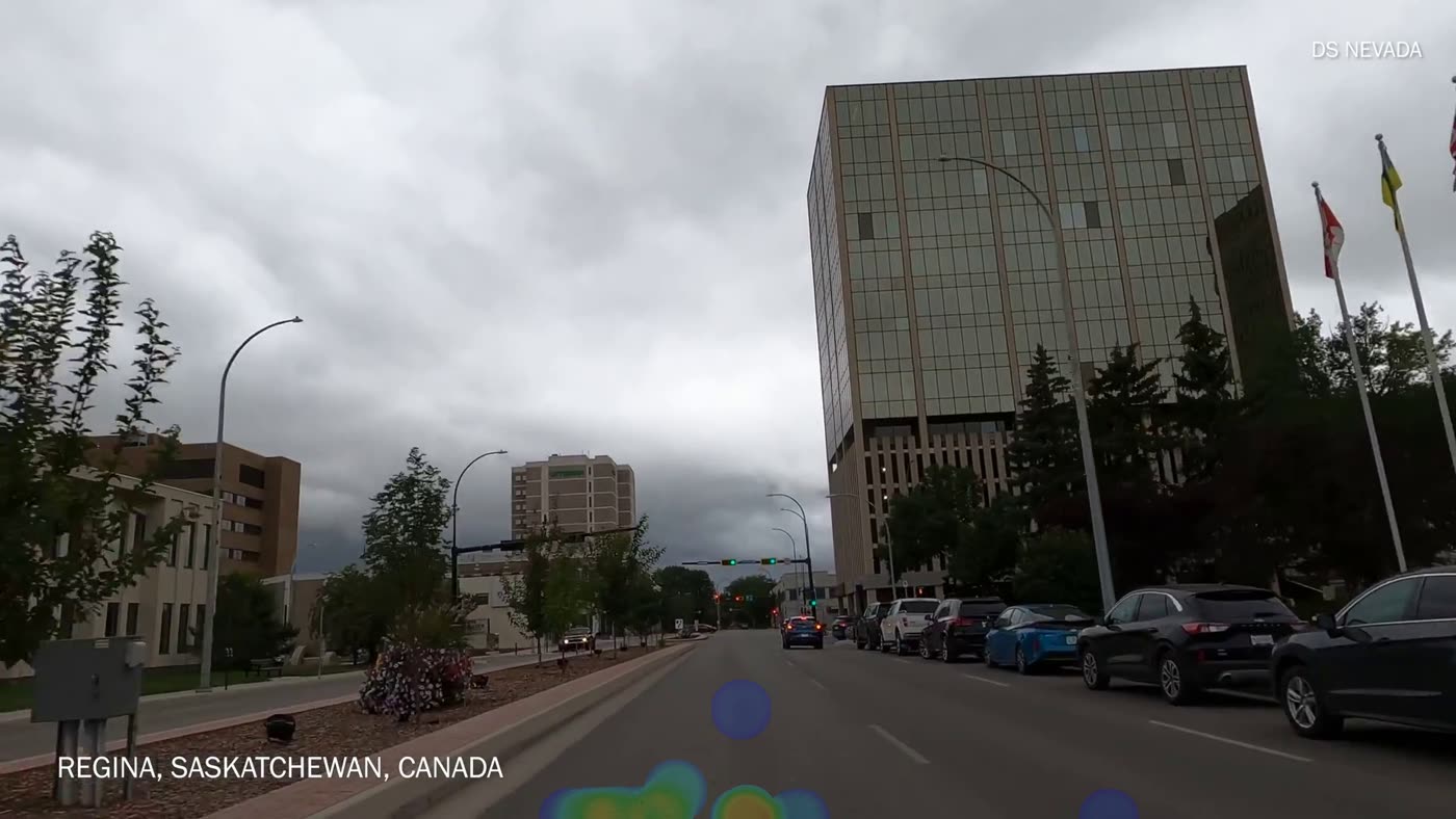
Built for the real world
From a drive to a city-wide view.
Roadlens finds cracking and potholes, follows each defect across frames, and turns raw footage into a usable layer of infrastructure intelligence.
Turn the vehicles your city already runs into a continuous road survey—so maintenance teams know what needs attention, and where.
Traditional condition surveys are expensive snapshots. In between them, teams rely on complaints and incomplete visibility.
Roadlens changes the cadence. Everyday fleet footage becomes current, geolocated evidence your team can review and act on.
Roadlens finds cracking and potholes, follows each defect across frames, and turns raw footage into a usable layer of infrastructure intelligence.
No specialized survey vans. No new route planning. Start with phones or dashcams in the fleet you already operate.
Vehicles record streets as they drive their normal routes. Bring your own camera or add a dedicated capture kit.
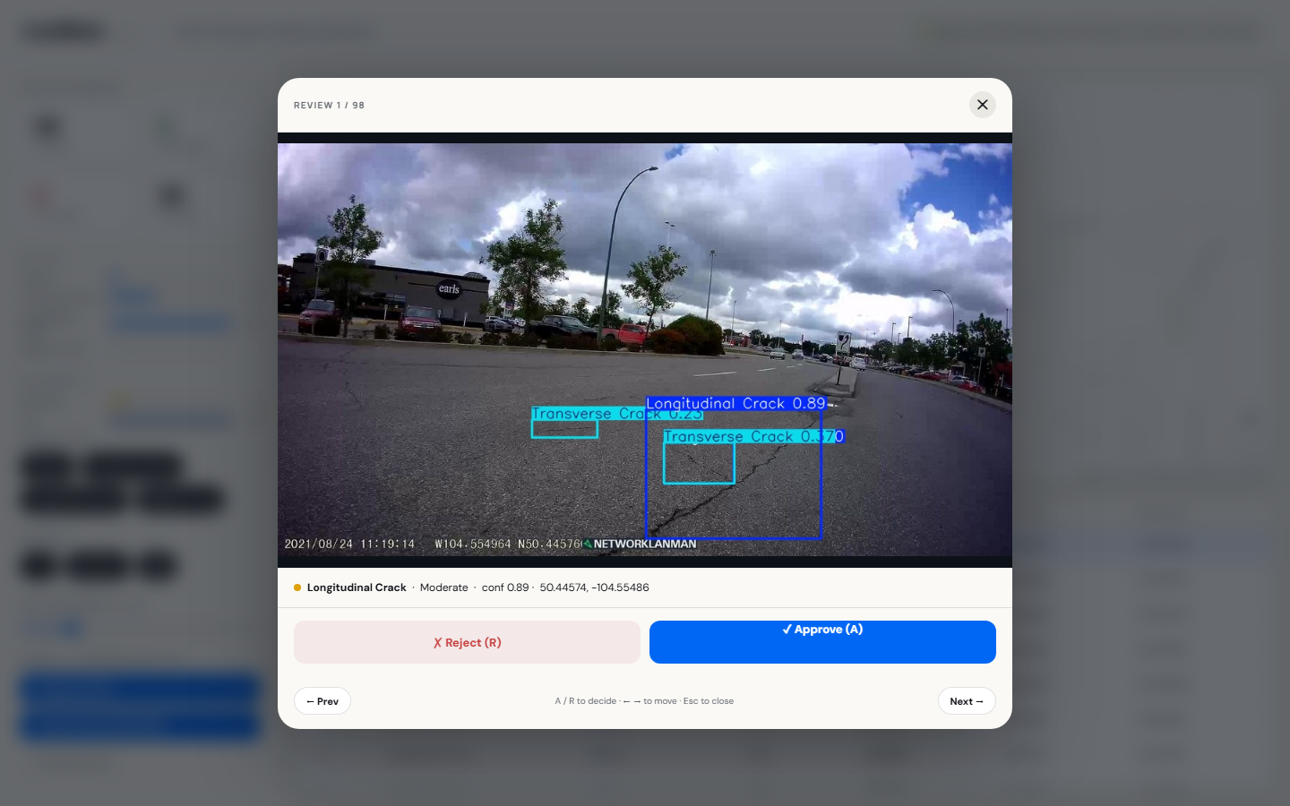
Computer vision detects, classifies, deduplicates, severity-rates, and GPS-tags road surface defects.
Staff review every photo, approve or reject each finding, and export only the records they trust.
Move from detection to decision in one clear workspace—built around the way public works teams already operate.
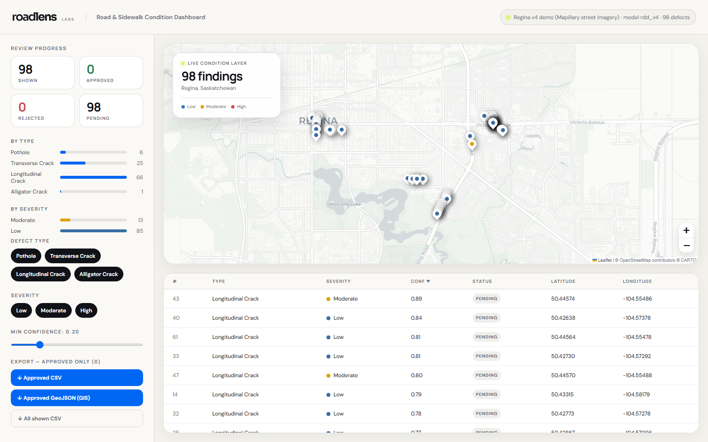
Filter the network by defect type, severity, and confidence.
Approve or reject photo-backed detections before they move downstream.
Export approved records in CSV and GeoJSON. Your data stays portable.
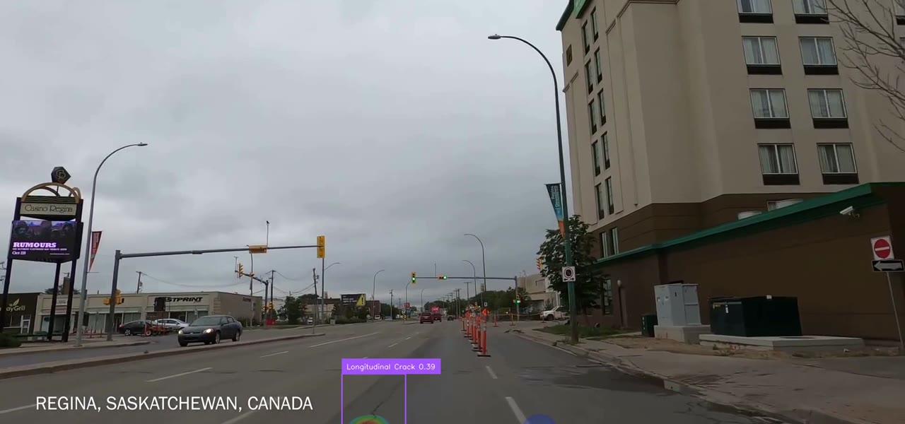
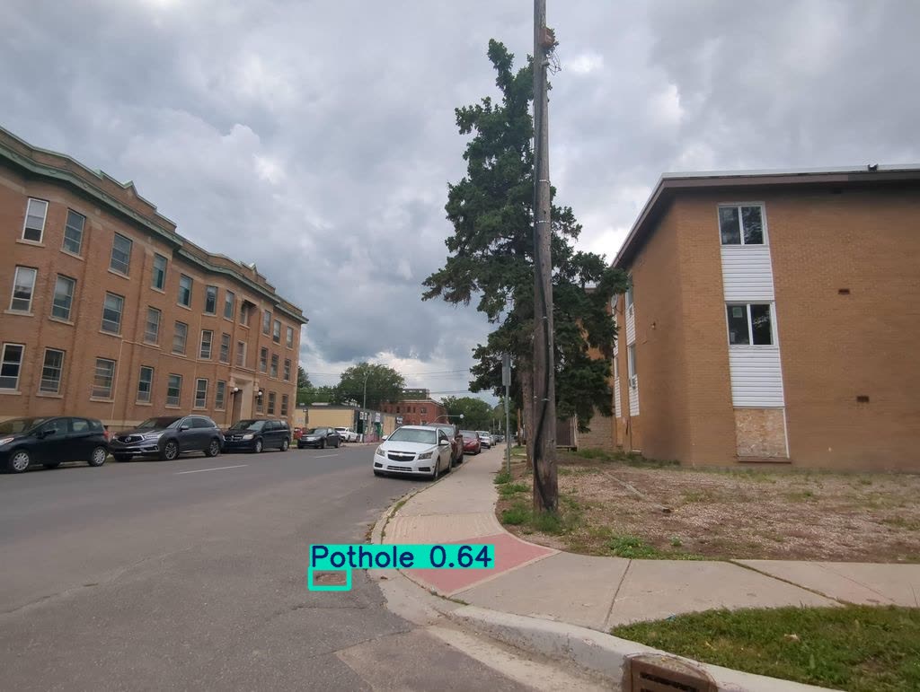
Longitudinal, transverse and alligator cracking are identified alongside potholes.
Roadlens puts municipal knowledge at the centre. A fast review queue gives staff the context and control to decide what becomes an approved record.
Cost and survey-cycle figures are planning estimates and vary by municipality, scope, and procurement.
Prove the workflow on a focused district, then expand to the cadence and coverage your network needs.
A fixed-scope district, processed footage, a live results dashboard, and an honest performance readout.
Explore a pilot →Ongoing fleet-footage processing, team access, review workflow, exports, and model updates. $12.5K base fee, volume rate past 1,000 lane-km. Integration from $40K.
Talk to us →A one-time network capture processed into a complete geolocated defect inventory.
Plan a survey →Transparent by design: a $12,500 base fee plus $45 per lane-km per year, dropping to $35 past 1,000 lane-km. No quote call needed.
Planning estimate. Includes processing, dashboard, review workflow and exports. One-time integration from $40K scoped separately.
Bring your existing vehicles and your toughest streets. We’ll bring the processing, dashboard, and evidence.